The camera images themselves
All images come from one place: North Yorkshire Council's road cameras and weather conditions page. They're weather-station cameras showing road surface conditions, refreshed roughly every 10 minutes — built for checking ice and snow, not day-to-day congestion. Select the camera you want from the list on that page; we haven't linked individual images directly since the council doesn't publish stable per-camera URLs.
Under 10 miles
Roughly 10–20 miles
Roughly 20–30 miles (borderline)
Distance bands are approximate — estimated from general geography, not a confirmed mileage for each site.
Live congestion, separately from the cameras
The weather cameras above don't show traffic flow, and they don't cover the town centre or the attraction access roads at all. For actual congestion, split it three ways:
A1(M) and A19 (trunk roads)
Specifically the A168 Dishforth–Thirsk and the A19 north of Thirsk — these are National Highways roads, not council roads. Live incidents and congestion: trafficengland.com, the official National Highways service.
Inside Thirsk itself
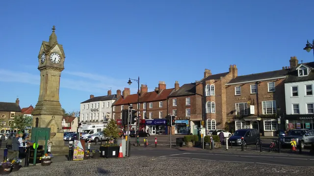
The Market Place and the streets round it are narrow and pedestrianised in parts, so congestion here is about market days and events, not motorway-style jams. Worth checking before a booking on:
- Market days — Monday and Saturday, when stalls narrow the Market Place and parking turns over constantly.
- Race days — traffic builds around the A61 and Station Road as racegoers arrive and leave in the same short windows. See the race days page.
Check live traffic on Thirsk Market Place → (opens Google Maps — switch on the Traffic layer)
Around the attractions
Sutton Bank and the White Horse of Kilburn share narrow, single-track approach roads that back up on busy summer weekends and bank holidays — a genuinely different problem to town congestion, since there's often nowhere to pass or turn round.
Everywhere else
For the smaller roads and cameras listed above (A170, A61, A684, and the rest), open the location using the Google Maps links on each card, then switch on the Traffic layer for a live congestion view.
💡 Local Tip
These are winter-service cameras first and foremost — genuinely useful for checking Sutton Bank or the moor roads before a taxi tackles them in ice or snow, less useful for a normal Tuesday afternoon. For everyday traffic, Google Maps' live layer is the better tool.