Short walks from the Market Place
Find route descriptions and downloadable leaflets through Thirsk Tourist Information’s walking pages. The Past & Present trail and Blue Plaque Trail have their own visitor information.
Thirsk & Sowerby Past & Present
A community-designed town and countryside trail, with a free app, booklet and map.
Blue Plaque Trail
Around 20 historical sites across Thirsk and Sowerby.
Ted's Pushchair Walk
1.5 miles, circular, suitable for pushchairs and most wheelchairs.
Ted's Walks 1–5
A set of local circular field and village walks via South Kilvington, Sowerby, Carlton Miniott and the surrounding countryside.
Bigger days out
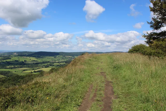
Sutton Bank & Kilburn White Horse
Takes in the White Horse, Gormire Lake, and the Sutton Bank escarpment. Starts from Sutton Bank or the Kilburn Forest car park (fee required), not the town centre.
Needs a taxi to the startCleveland Way: Sutton Bank to Osmotherley
A one-way section of the National Trail along the escarpment. Plan the exact stage, distance and collection point using the official Cleveland Way information.
One-way — book a return taxiHerriot Way
A separate multi-day Yorkshire Dales walk. The route guide starts and finishes in Aysgarth, with overnight stops in Hawes, Keld and Reeth. It does not start in Thirsk; arrange a separate transfer if including it in your visit.
Another landscape: Cod Beck Reservoir
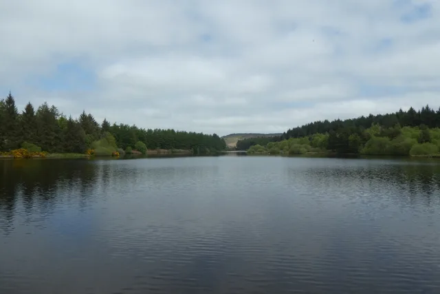
The water and woodland near Osmotherley make a different setting from the open escarpment. Choose a published route that suits your group, and distinguish the reservoir from Cod Beck in Thirsk when arranging transport.
When a walk needs a taxi
- Linear routes like the Cleveland Way section to Osmotherley don't loop back — arrange transport at both ends, or choose a route that finishes at your accommodation.
- For Sutton Bank and the White Horse, choose a published walking route and an agreed road-accessible pickup. Do not assume the driving route back to Thirsk is a suitable walking route.
- Agree pickup times and locations clearly for anywhere without obvious signal — see the Attractions page for the same note on Sutton Bank.
💡 Local Tip
If you're walking a linear route and want collecting at the far end, book that leg before you set off, not partway through the walk — you may not have signal to call once you're up on the escarpment.